Architectural Features
Brooklyn doorways and garages rebuilt as prints.
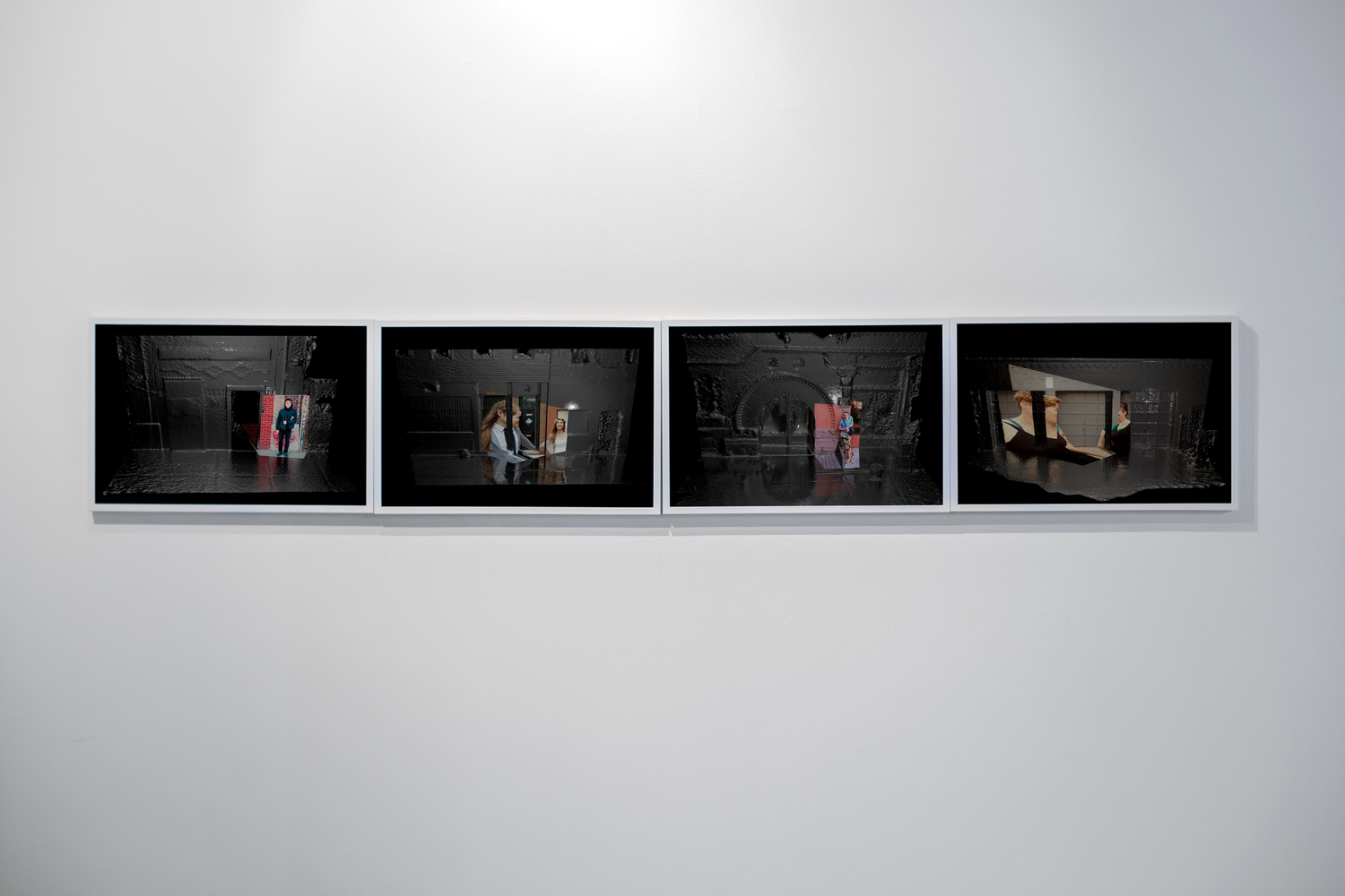
A four-print series combining photographs of people with three-dimensional scans of the architecture around them.
- Period
- 2015
- Status
- Complete / Archived
- Form
- Photographic print series
The project
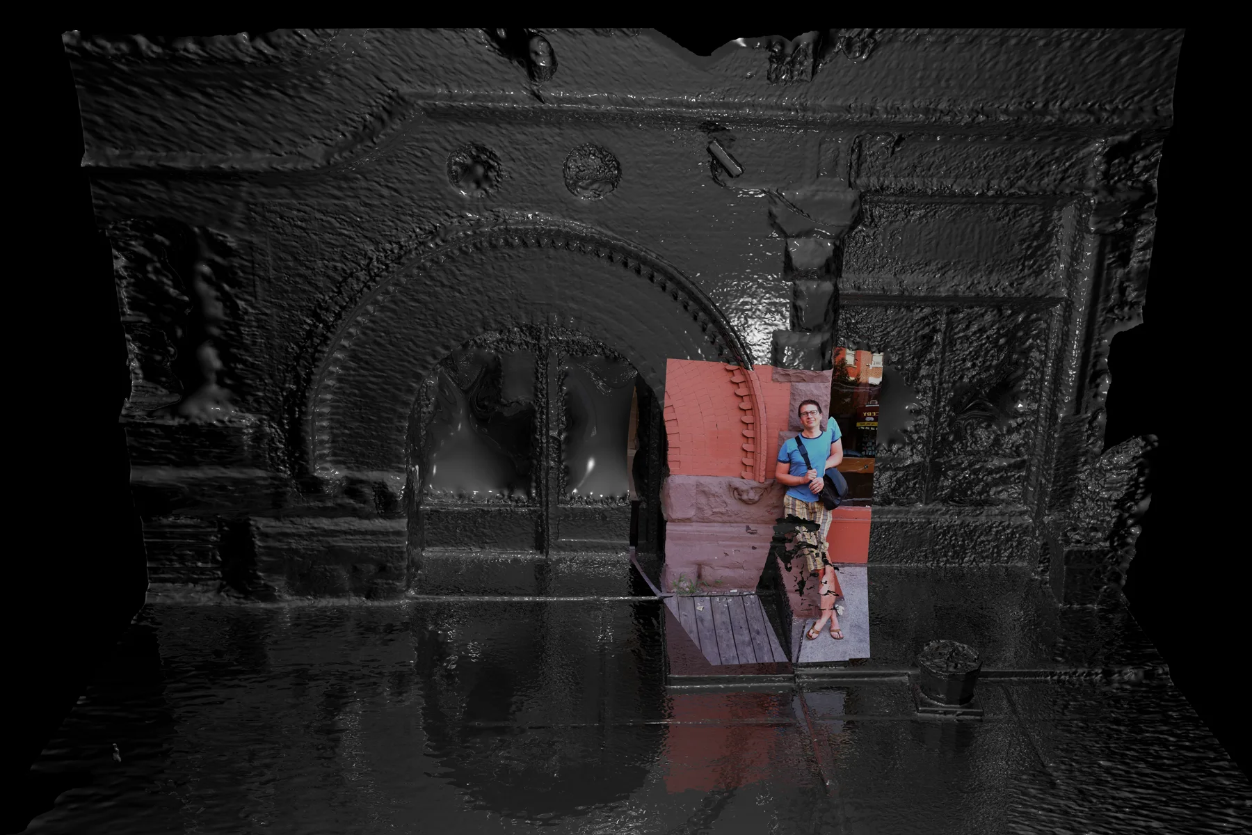
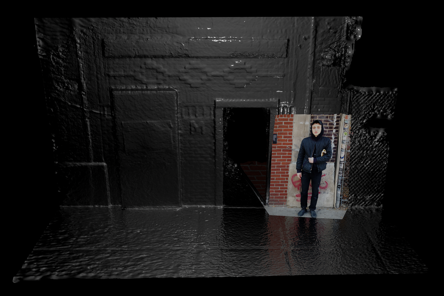
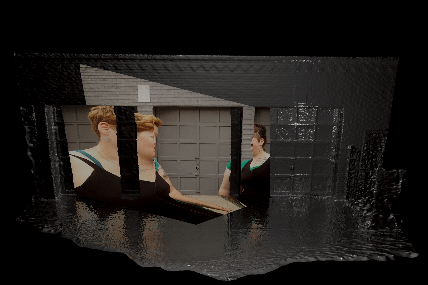
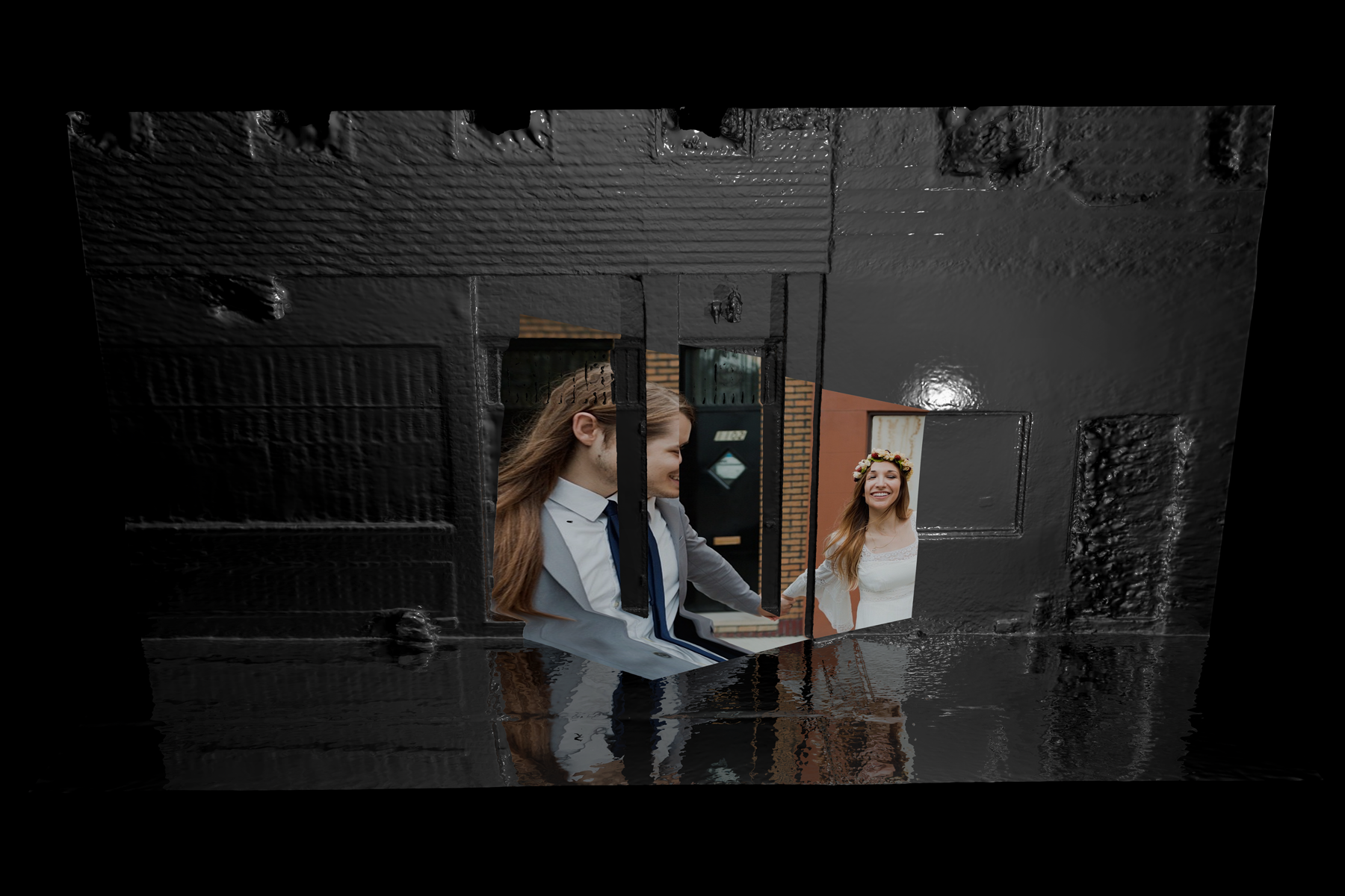
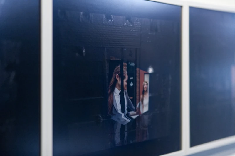
Architectural Features is a series of four photographic prints built from public, geotagged photographs found around familiar Brooklyn neighborhoods. A 3D scan reconstructs each street, doorway, or garage. The source photograph is projected back into the model from its original camera position. The scans remain visibly incomplete—dark, reflective, and open at the edges—around the people in the found images.
I found the people through public, geotagged photographs. I didn't know them. The places were in neighborhoods near where I lived and worked, and I often chose locations I already knew. I went back to each one, made a 3D scan, and reverse-engineered the camera angle from the found photograph so one view would line up closely enough to project back onto the model. I gave the scans a glossy black material, then placed a single light at that camera position to reveal the geometry around the photograph and give a sense that this was a real place.
I think of this as a kind of street photography. People pass through streets, doorways, and parks without leaving much visible residue. What would happen if someone took one of our throwaway pictures and gave it this incredible amount of detail and honor?
I often find myself daydreaming spaces from my past, mentally floating around their corners, walls, and objects. Returning to a stairwell or the dumpsters behind a grocery store can bring a conversation or a book crashing back in full detail. It is like a misuse of a mnemonic device: a memory stairwell or a memory dumpster.
I was also thinking about what happens as personal photographs become structured material for maps. Our impressions, thoughts, and taste can be gathered to “enhance the map”—a kind of Google person-view instead of Street View. I imagined someone arriving at work to find these fragments on a desk, ready to be retouched out of the world's UV map.
My role
I found the public, geotagged source photographs, revisited and scanned their locations, matched the virtual cameras, created the materials and lighting, and built the final spatial images.
Selected credits
- Alexander Porter
- Photographer