Experiment | Found Data
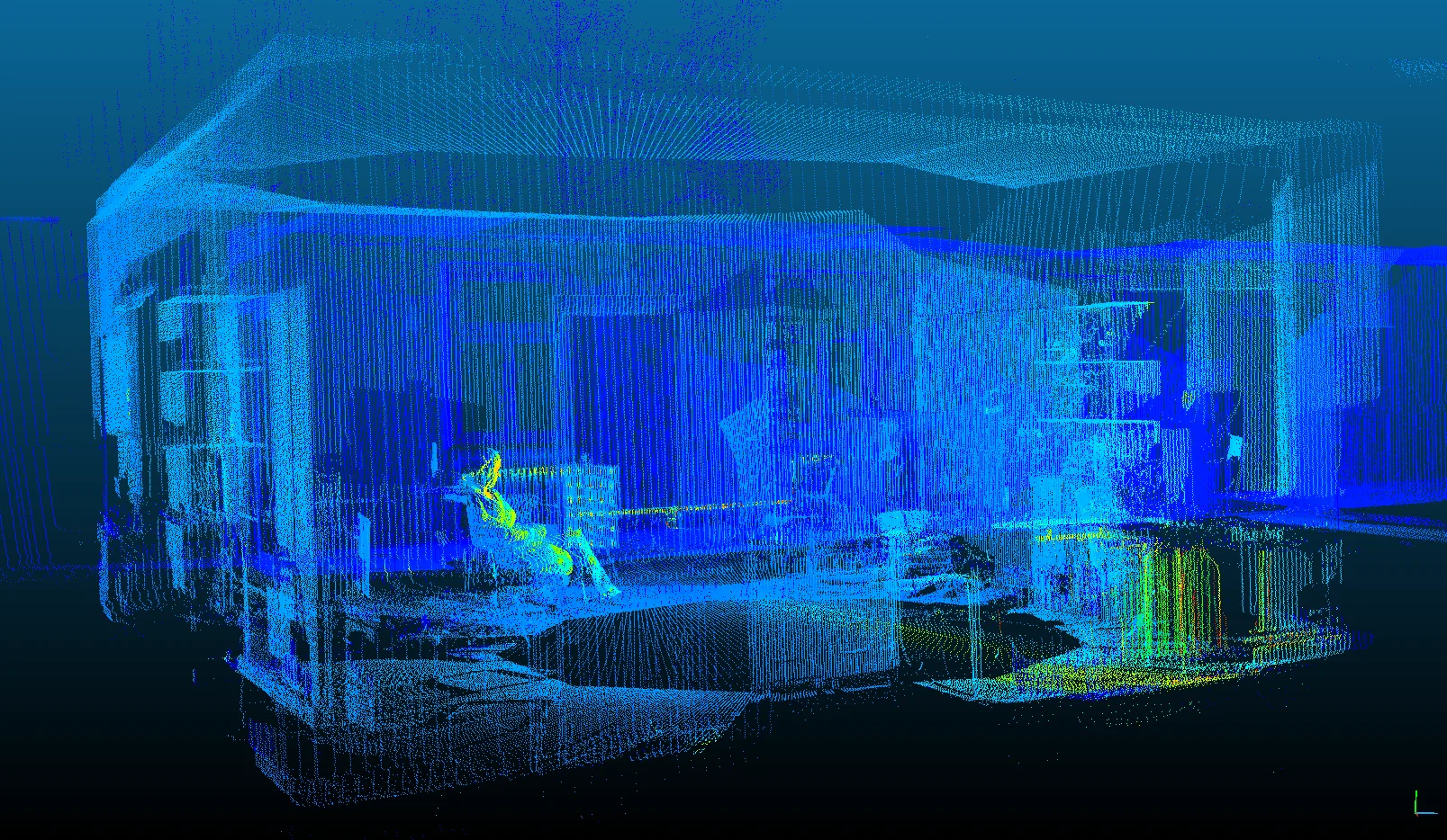
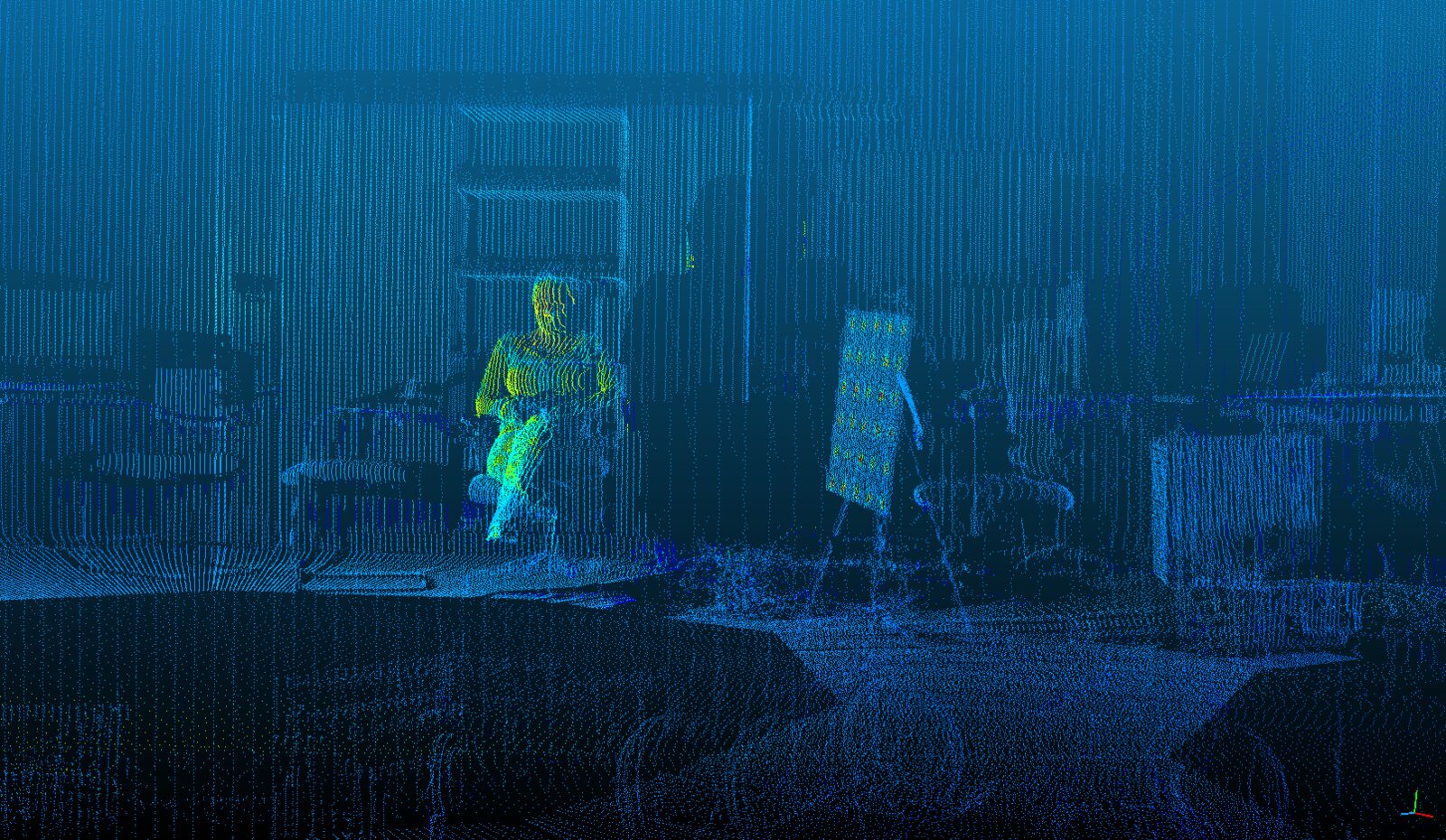
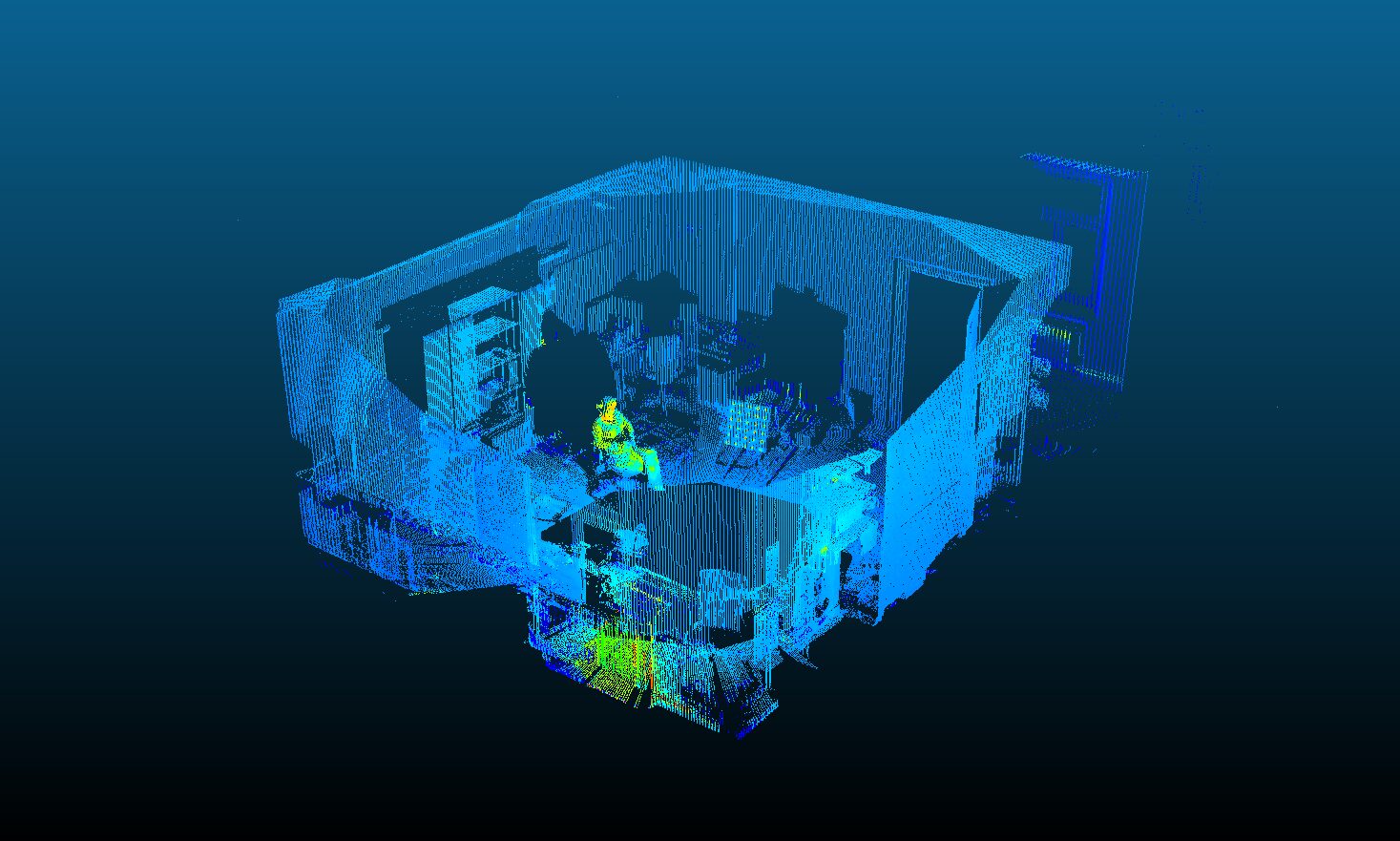
A researcher remains inside the calibration scan.
An ongoing image experiment finds human traces inside public research datasets built for calibration, robotics research, navigation, and simulation.
- Period
- 2017–present
- Status
- Active / Ongoing
- Form
- Ongoing data and image study
The project
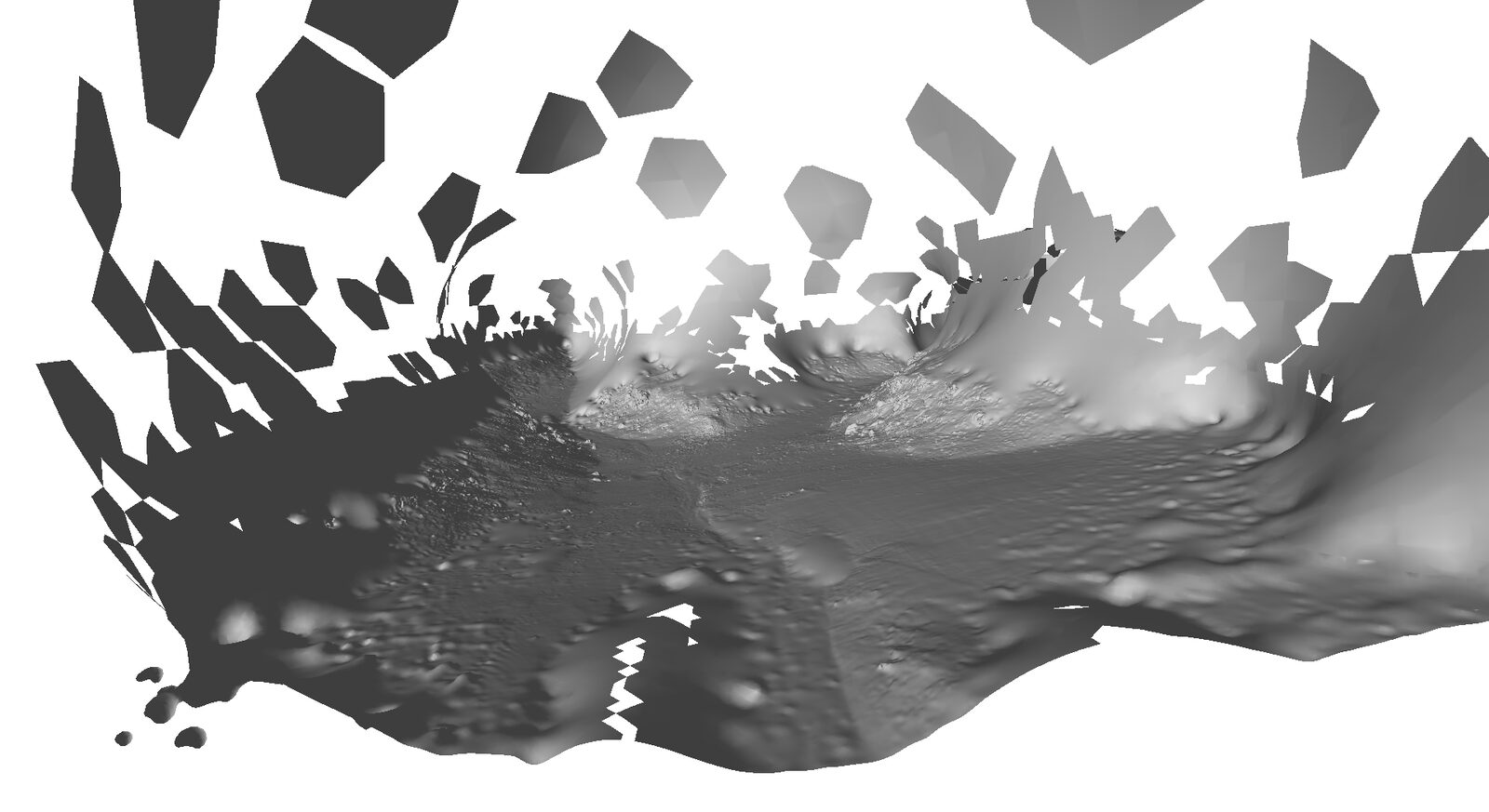
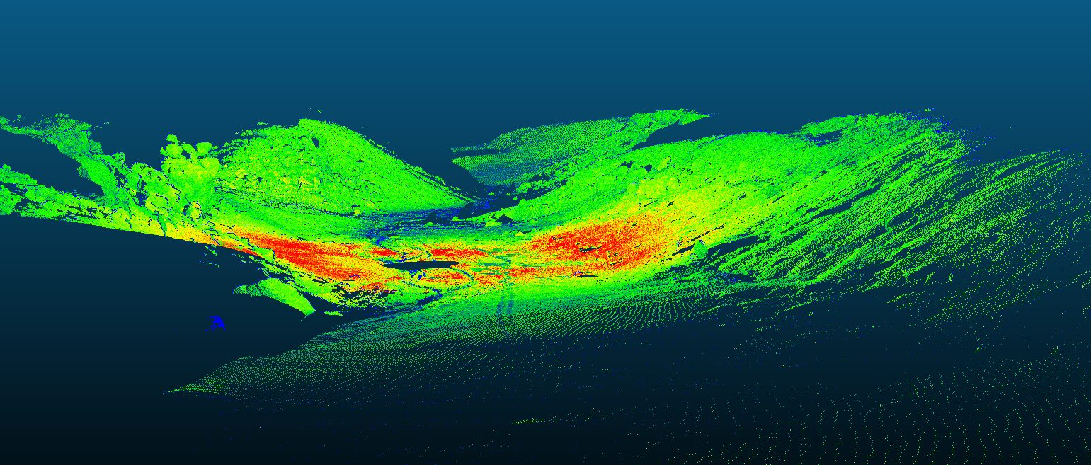
Found Data takes publicly available research datasets and renders them as pictures. The material was made for other jobs. The Devon Island Rover Navigation Dataset follows a rover for ten kilometres across Nunavut, on real ground used as a Mars/Moon analogue. An RGB-thermal/LiDAR calibration file left a researcher standing in its blue point-cloud room. The images include the workspaces and broken edges around the measurement.
I collect datasets made for calibration, robotics, navigation, and other practical tasks, then render them as images. It is a wandering process. I look for compelling moments, human “remains” or imprints in the files. One image contains a researcher standing in a blue point-cloud room. Another follows a rover across real ground on Devon Island, standing in for Mars.
The datasets are other people’s work. The Devon Island scans come from the Autonomous Space Robotics Lab at the University of Toronto Institute for Aerospace Studies — Furgale, Carle, Enright and Barfoot, 2012. The thermal room was recorded by Dorit Borrmann at the Automation Lab, Jacobs University Bremen.
My role
I collect datasets made for calibration, robotics, and navigation, then render them as images. I look for incidental traces of people in the files, such as the researcher left standing in a scan of a laboratory.
Selected credits
- Alexander Porter
- Artist